Even though we didn’t get to see any glaciers, we did get to see some pretty epic mountains in the far north of Montana:
 We also saw the continental divide:
 Chris then thought perhaps we should have lunch further north. He managed to find a location so far north, that it was only about 20 miles from Canada. Naturally we had to pop in:
 This is the actual border itself:
  And the bilingual signs began:
 They also very abruptly ended as we did not actually go in properly. We just went to the border, which is why we don’t have a photo of the ‘Welcome to Alberta’ sign, though there was one in the distance after the customs office. We left our car on the American side of the fence, walked into Canada and then walked back over without needing to speak to anyone. We did have to speak to American customs to return (we had attempted to on the way in to explain what we wanted to do, but no one would come out), which was annoying as the man clearly didn’t think that was a good use of a border crossing.
Check out the video to see how brilliantly that went:
Next we went back into Montana proper to the town of Cut Bank, which claims to be the coldest in the nation. Whether that is true, I don’t know, but the penguin was very cute:

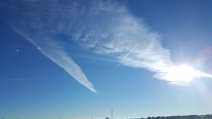
We drove our furthest, and by far, most insane distance, that day. We drove a total of 525 miles in a single day. There is very, very little in Northern Montana once you get out of the mountains, just a big, big sky:  We did pass through an Indian Reservation though. We even ended up staying the night in Wolf Point, a city within one. The woman at the front desk told us that we should look elsewhere for jobs as they were allowed to legally discriminate against those who were not members of the tribe, and obviously, we are not.
We also saw lots of tribal election posters, as they have their own different governing bodies: 
